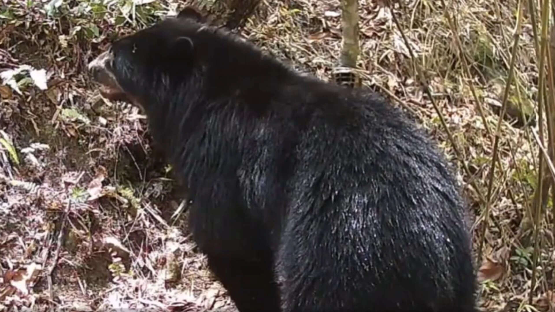
Single camera-trap recordings of elusive apex species like Tremarctos ornatus frequently trigger speculative media narratives regarding population recoveries. When automated traps capture an individual wading into the Parapetí River in Bolivia's upper watershed, the observation is routinely misinterpreted as a definitive demographic indicator. This analytical breakdown deconstructs the mechanics behind wildlife monitoring in transitional biomes, contrasting isolated optical evidence with functional population viability frameworks.
The Spatial Mechanics Of The Upper Parapetí Watershed
The headwaters of the Parapetí River form an ecotone bridging the humid Andean cloud forests and the arid Gran Chaco lowlands. This geography dictates specific behavioral parameters for local mammal populations.
- Altitudinal Gradient Pressures: Ursid movement is fundamentally bound to seasonal resource distribution, forcing individuals across steep elevation gradients spanning thousands of meters.
- Corridor Continuity Index: Functional connectivity relies on unbroken canopy coverage, allowing solitary range-dwellers to transit between protected zones such as the Upper Parapetí River Basin protected area and Serranía de los Milagros.
- Hydrological Attractors: Riverine interfaces serve as primary movement corridors because dense vegetation networks concentrate food resources and water access points into linear strips.
When a camera records an individual entering a water body, the event demonstrates habitat functionality at a micro-scale rather than broad ecological stability. The presence of water-wading behavior indicates low immediate human disturbance in that specific sub-basin, but it provides zero variance data regarding long-term population persistence.
Evaluating Optical Detection Versus Demographic Reality
Wildlife management relies on distinguishing between occupancy metrics and abundance metrics. Camera-trap data yields presence-absence matrices, which are frequently conflated with density estimations by external observers.
The analytical limits of isolated video logs are governed by several structural constraints:
- Pseudoreplication of Individuals: Without individual facial recognition via unique chest or ocular markings, repeated captures of a single wide-ranging male can artificially inflate perceived local population counts.
- Home Range Scale Mismatch: Male Andean bears maintain vast territories often exceeding 100 square kilometers. A localized sighting near a river headwater captures a fraction of a single operational home range.
- Behavioral Bias: Water-crossing events are episodic. Using them to model systemic population health introduces high estimation error due to non-random sampling constraints.
Historical baseline data from the same watershed recorded two individuals in 2022, followed by the recent 2026 river-wading documentation. This longitudinal spacing confirms persistent habitat utilization, but mathematically precludes any calculation of population growth rates, birth-to-death ratios, or genetic recruitment.
The Cost Function Of Human Wildlife Conflict
Conservation frameworks in the inter-Andean valleys of Santa Cruz and Chuquisaca operate under a strict economic trade-off matrix. As agricultural frontiers expand into secondary forest patches, the interface between human enterprise and wildlife movement generates systemic friction.
- Crop Depredation Economics: Bears occasionally target high-energy agricultural yields, particularly maize and cultivated fruits, when natural bromeliad and Ericaceae food supplies experience seasonal troughs.
- Livestock Attribution Errors: Regional studies indicate that while ursids are frequently blamed for cattle mortality in humid valleys, empirical necropsy data reveals that predation is heavily exaggerated relative to disease or accidents.
- Mitigation Friction: Unprotected pastoral boundaries create high-cost environments where retaliatory action threatens regional meta-population connectivity.
The presence of a healthy adult near a river system proves that the landscape retains enough structural integrity to support metabolic demands, yet it underscores the vulnerability of these animals as they traverse unprotected agricultural matrices.
Operational Directives For Regional Conservation
Scaling conservation efforts beyond anecdotal media coverage requires shifting capital allocation toward systematic acoustic and genetic monitoring networks. Field programs must transition from passive observation to quantitative density modeling using spatially explicit capture-recapture frameworks. Priority action requires securing legal buffer zones around the upper river basins while implementing non-lethal deterrent infrastructure for local farming cooperatives to eliminate retaliatory mortality risks.


