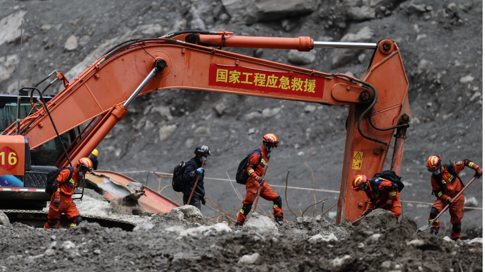
Every time a wall of mud, ice, and stone erases an entire Himalayan border settlement, the script is written before the debris even settles. Pundits and international bodies rush to point an accusing finger at global climate warming, treating the tragedy as an unavoidable act of meteorological vengeance. This lazy consensus is dangerous. It absolves local planners, state developers, and infrastructure syndicates of profound structural negligence. The catastrophe on the China-Nepal border was not merely a weather event. It was a failure of engineering physics, archaic hazard mapping, and willful regulatory blindness in one of the most volatile tectonic zones on earth.
When a glacier collapse sends millions of tons of slurry tearing down valleys at terminal velocity, standard reports focus entirely on the emotional human cost and the staggering body count. They miss the core mechanism driving the carnage: humans are building heavy industrial footprints directly in active debris tracks, ignoring basic geomorphological realities.
For decades, governments on both sides of the Himalayan frontier have treated riverbanks and narrow gorge floors as prime real estate for hydropower projects, transit corridors, and tourist outposts. Imagine a massive funnel where rockfalls and ice avalanches naturally accumulate and discharge every few decades. Now imagine placing multi-million-dollar energy plants and densely populated settlements right at the narrow neck of that funnel. That is not bad luck. That is structural hubris.
The lazy narrative relies on the catch-all phrase of extreme weather to explain away inadequate risk assessments. But hazard maps across the Himalayas have historically relied on coarse scales—often 1:50,000—which completely miss localized micro-topography and unstable glacial lake formations. When geologists talk about glacial lake outburst floods and ice-rock avalanches, they are describing entirely predictable mechanical processes. Tectonic uplift makes the Himalayas grow taller by millimeters every year, which means the rock mass is constantly fracturing, destabilizing, and shedding material under gravity. Gravity does not negotiate. It drops things.
If you build concrete structures and worker tunnels right in the bed of historical flood paths without real-time acoustic sensors, early-warning radar arrays, or mandatory setback zones, you are inviting destruction. Blaming rising global temperatures for washing away poorly zoned infrastructure is a convenient deflection. It shifts accountability away from the agencies that approved construction permits in high-risk geomorphic hazard zones.
The engineering community has long possessed the tools to mitigate these risks. Debris flow barriers, high-altitude sensor networks, and redundant early-warning telemetry can buy precious minutes for evacuation. Yet, capital expenditure routinely prioritizes immediate energy generation and transit connectivity over subterranean and slope stability. The price for this short-term calculus is paid in villages erased down to the bedrock and thousands of missing citizens.
Stop treating the wrath of the mountains as an unpredictable surprise. Until regional authorities stop hiding behind weather statistics and start enforcing strict, science-based spatial planning that keeps human populations entirely out of active debris tracks, the Himalayas will keep billing us in real time. And the debt will always be collected in full.


